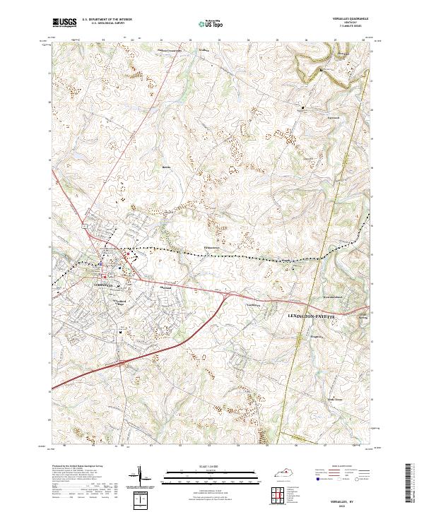
2022 Map of Versailles
USGS Topo · Published 2022About this map
The Woodford County Courthouse anchors the historic downtown of Versailles, Kentucky, in this contemporary survey of the Bluegrass region. The landscape reflects a mix of early 21st-century suburban growth and traditional rural crossroads. To the north and east, established communities like Pisgah and Wallace are situated among the karst topography of the region, most notably at the Big Sink. The map traces several old thoroughfares including the Old Frankfort Pike and Midway Rd, which connect the county seat to outlying settlements like Faywood and Nugent Crossroads. Several local burial grounds, including the Zion Hill Cem and Rose Crest Cem, offer critical data points for genealogists tracking family history in the area near South Elkhorn Creek and Glenns Cr.
Find a feature on this map
169 named features on this map. Tap any name to fly to it.
Don’t see what you’re looking for? This feature index may not catch every label — zoom into the map to look around manually.
Map Details
Editions of this 2022 Versailles Map
This is the sole edition of this map. No revisions or reprints were ever made.
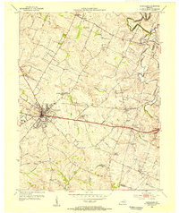
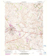
Historical Maps of Pisgah Through Time
3 maps found