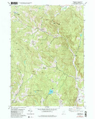
1981 Map of Vershire
USGS Topo · Published 1991About this map
The Ompompanoosuc River cuts through the steep terrain of Orange County, anchoring a series of small settlements that define the rural character of this region. Developed from aerial photography taken in 1973 and field-checked in 1975, the map reveals a landscape where historical hamlets like Mill Village, South Vershire, and Brimstone Corner remain distinct nodes along the narrow valley floors. The road network, featuring routes like Algerine Road and Ayers Road, connects these clusters to the higher elevations of Patterson Mtn and Hawkins Mtn.
Find a feature on this map
52 named features on this map. Tap any name to fly to it.
Don’t see what you’re looking for? This feature index may not catch every label — zoom into the map to look around manually.
Map Details
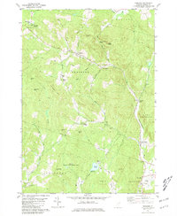
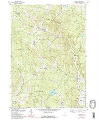
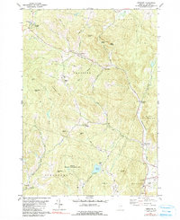
Editions of this 1981 Vershire Map
4 editions found
Other maps of this area

1896 · Strafford
USGS Topo · 1:62,500

1931 · Mt. Cube
USGS Topo · 1:62,500

1931 · Woodsville
USGS Topo · 1:48,000

1933 · Mt. Cube
USGS Topo · 1:62,500

1935 · Woodsville
USGS Topo · 1:62,500

1941 · Woodsville
USGS Topo · 1:62,500

1944 · Strafford
USGS Topo · 1:62,500

1947 · Corinth
USGS Topo · 1:62,500

1948 · East Barre
USGS Topo · 1:62,500

1950 · Glens Falls
USGS Topo · 1:250,000