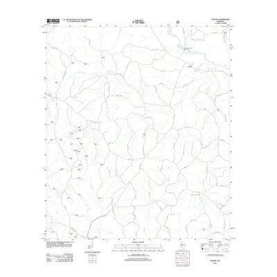
2012 Map of Vestry
USGS Topo · Published 2012About this map
Vestry serves as the central focal point of this Jackson County landscape, situated at the intersection of several local routes in a region dominated by winding watercourses. The drainage of Red Creek and its many tributaries, including Little Red Cr and Bluff Cr, creates a complex network of wetlands and creek bottoms. This topography influenced the placement of early settlements and family landmarks, evidenced by numerous burial grounds such as Ramsey Cem, Wilson Cem, and Carter Cem that are scattered across the quadrangle.
Find a feature on this map
79 named features on this map. Tap any name to fly to it.
Don’t see what you’re looking for? This feature index may not catch every label — zoom into the map to look around manually.
Map Details
Editions of this 2012 Vestry Map
This is the sole edition of this map. No revisions or reprints were ever made.
Other maps of this area

1941 · Vancleave
USGS Topo · 1:62,500

1941 · Lucedale
USGS Topo · 1:62,500

1943 · Lucedale
USGS Topo · 1:62,500

1943 · Vancleave
USGS Topo · 1:62,500

1944 · Vancleave
USGS Topo · 1:62,500

1947 · Benndale
USGS Topo · 1:62,500

1949 · Benndale
USGS Topo · 1:62,500

1953 · Mobile
USGS Topo · 1:250,000

1954 · Vestry
USGS Topo · 1:62,500

1957 · Mobile
USGS Topo · 1:250,000