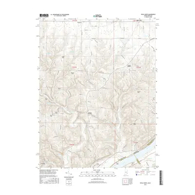
2016 Map of Vevay North
USGS Topo · Published 2016About this map
Vevay sits prominently along the northern bank of the Ohio River in this modern topographic study, where the landscape is defined by the sharp transition from river bottoms to the dissected uplands of Switzerland County. The terrain is marked by a series of prominent ridges, including Popcorn Ridge, Tapps Ridge, and Smith Ridge, which dictate the winding paths of rural roads like Tapps Ridge Rd and Fairview Rd. These topographic features highlight the traditional settlement patterns of the region, where communities such as Mount Sterling and Center Square developed atop the higher ground away from the floodplains.
Find a feature on this map
99 named features on this map. Tap any name to fly to it.
Don’t see what you’re looking for? This feature index may not catch every label — zoom into the map to look around manually.
Map Details
Editions of this 2016 Vevay North Map
This is the sole edition of this map. No revisions or reprints were ever made.
Other maps of this area

1943 · Florence
USGS Topo · 1:24,000

1943 · Aberdeen
USGS Topo · 1:24,000

1943 · Vevay North
USGS Topo · 1:24,000

1943 · Brooksburg
USGS Topo · 1:24,000

1943 · Vevay South
USGS Topo · 1:24,000

1951 · Florence
USGS Topo · 1:24,000

1951 · Sanders
USGS Topo · 1:24,000

1952 · Vevay South
USGS Topo · 1:24,000

1953 · Carrollton
USGS Topo · 1:24,000

1953 · Aberdeen
USGS Topo · 1:24,000