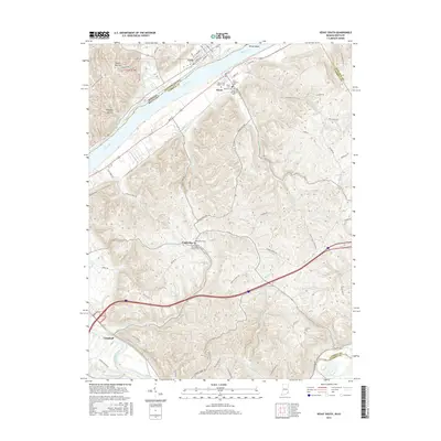
2016 Map of Vevay South
USGS Topo · Published 2016About this map
The Ohio River carves a deep valley through this borderland, separating Vevay in Indiana from the Kentucky settlement of Ghent. This 2016 survey illustrates the concentration of civic life along the riverbanks, where streets like W Main St and Main Cross define the town centers. Beyond the river flats, the terrain rises sharply toward Potato Bug Hill, giving way to a network of creeks and ridges that shaped local settlement patterns.
Find a feature on this map
79 named features on this map. Tap any name to fly to it.
Don’t see what you’re looking for? This feature index may not catch every label — zoom into the map to look around manually.
Map Details
Editions of this 2016 Vevay South Map
This is the sole edition of this map. No revisions or reprints were ever made.
Other maps of this area

1943 · Florence
USGS Topo · 1:24,000

1943 · Vevay North
USGS Topo · 1:24,000

1943 · Brooksburg
USGS Topo · 1:24,000

1943 · Vevay South
USGS Topo · 1:24,000

1950 · New Liberty
USGS Topo · 1:24,000

1951 · Florence
USGS Topo · 1:24,000

1951 · Sanders
USGS Topo · 1:24,000

1952 · Vevay South
USGS Topo · 1:24,000

1952 · Worthville
USGS Topo · 1:24,000

1952 · Campbellsburg
USGS Topo · 1:24,000