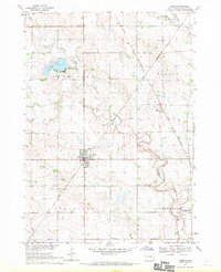
1968 Map of Viborg
USGS Topo · Published 1971About this map
Viborg stands as a primary hub for the surrounding agricultural landscape of Daneville and Centerville townships during the late 1960s. The town's grid is positioned at the intersection of the Great Northern and Chicago and North Western railroads, illustrating the critical role of rail transport in moving grain and livestock from the South Dakota plains. To the north, the waters of Swan Lake are regulated by a spillway, while Turkey Ridge creates a subtle but defining rise in the otherwise level prairie.
Find a feature on this map
24 named features on this map. Tap any name to fly to it.
Don’t see what you’re looking for? This feature index may not catch every label — zoom into the map to look around manually.
Map Details
Editions of this 1968 Viborg Map
This is the sole edition of this map. No revisions or reprints were ever made.
Other maps of this area

1897 · Canton
USGS Topo · 1:125,000

1898 · Parker
USGS Topo · 1:125,000

1900 · Canton
USGS Topo · 1:125,000

1955 · Sioux Falls
USGS Topo · 1:250,000

1958 · Sioux Falls
USGS Topo · 1:250,000

1964 · Lennox
USGS Topo · 1:24,000
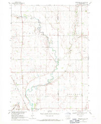
1968 · Beresford NW
USGS Topo · 1:24,000
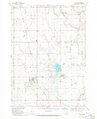
1968 · Hurley
USGS Topo · 1:24,000

1968 · Parker SW
USGS Topo · 1:24,000
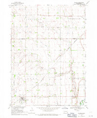
1968 · Wakonda
USGS Topo · 1:24,000