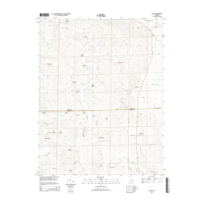
2015 Map of Vichy
USGS Topo · Published 2015About this map
Vichy and the surrounding borderlands of Maries and Phelps counties are defined by a deeply dissected landscape of ridges and hollows. The Rolla National Airport occupies the high ground in the northeast, while the rest of the terrain is marked by family-named landmarks and historical burial grounds. Genealogists can locate numerous small cemeteries scattered across the township lines, including the Tennison, Hodge, and Macedonia sites. The drainage pattern is complex, with Spring Creek and its many tributaries like Miller Br and Gaines Ford Br carving through the limestone topography. Prominent elevations such as Pilot Knob and Pea Ridge offer clear points of orientation within this rural Missouri landscape, which remains characterized by its network of county roads and isolated settlements like Davis Ford.
Find a feature on this map
79 named features on this map. Tap any name to fly to it.
Don’t see what you’re looking for? This feature index may not catch every label — zoom into the map to look around manually.
Map Details
Editions of this 2015 Vichy Map
This is the sole edition of this map. No revisions or reprints were ever made.
Other maps of this area

1912 · Rolla
USGS Topo · 1:62,500

1928 · Meramec Spring
USGS Topo · 1:62,500

1934 · Redbird
USGS Topo · 1:62,500

1937 · Vienna
USGS Topo · 1:62,500

1938 · Redbird
USGS Topo · 1:62,500

1938 · Vienna
USGS Topo · 1:48,000

1949 · Saint Louis
USGS Topo · 1:250,000

1949 · Vienna
USGS Topo · 1:62,500

1949 · Rolla
USGS Topo · 1:250,000

1949 · Meramec Spring
USGS Topo · 1:62,500