Loading...
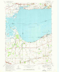
Loading map...1969 Map of Vickery
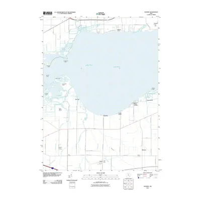
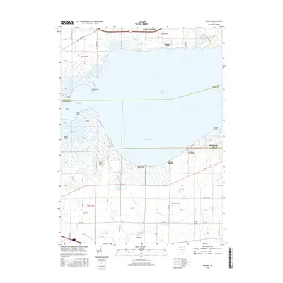
USGS Topo · Published 1971About this map
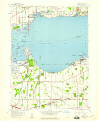
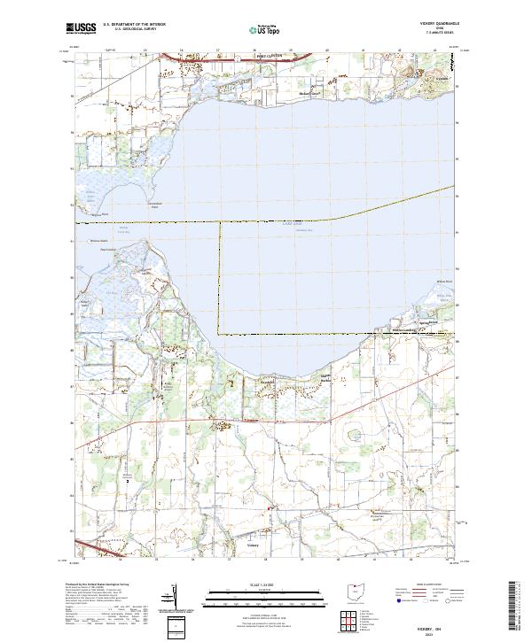
Sandusky Bay defines the northern reaches of this coastal landscape, where the waters of Muddy Creek and Pickerel Creek meet the shoreline of Lake Erie. This 1969 survey captures a transition from the marshy wetlands of The Bogs and the cluster of islands like Peach Island and Graveyard Island to the industrial and agricultural interior. The extraction industry is prominent in the northeast, marked by a Gypsum Quarry and the Gypsum Tabernacle.
Find a feature on this map
55 named features on this map. Tap any name to fly to it.
Don’t see what you’re looking for? This feature index may not catch every label — zoom into the map to look around manually.
Map Details
Date Portrayed1969
Date Published1971
PublisherU.S. Geological Survey
Map TypeTopographic
Scale1:24,000
Physical Dimensions22.1 x 27 inches
Editions of this 1969 Vickery Map
This is the sole edition of this map. No revisions or reprints were ever made.
Historical Maps of Port Clinton Through Time
7 maps found

Featured Locations
Source Details
SourceU.S. Geological Survey
CopyrightPublic Domain