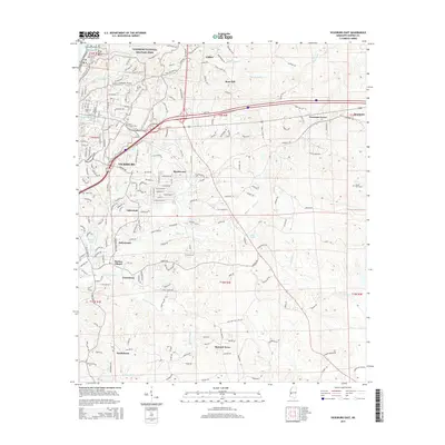
2015 Map of Vicksburg East
USGS Topo · Published 2015About this map
Vicksburg National Military Park dominates the northwestern corner of this map, preserving the critical Civil War landscape where the Hills of the Vly meet the river bluffs. This 2015 perspective illustrates the modern suburban expansion of Vicksburg eastward into communities like Beechwood, Lakewood, and Bellemeade. The transportation corridor is anchored by the Kansas City Southern railroad line and major highways that bypass the historic city center, cutting through the headwaters of Hatcher Bayou and Shiloh Cr. Local heritage is preserved in numerous burial grounds, including the historic Anshe Chesed Cem and Beulah Cem, while the rural fringes to the east show established settlements such as Culkin and Newmans Grove amidst a network of bayous and creeks.
Find a feature on this map
201 named features on this map. Tap any name to fly to it.
Don’t see what you’re looking for? This feature index may not catch every label — zoom into the map to look around manually.
Map Details
Editions of this 2015 Vicksburg East Map
This is the sole edition of this map. No revisions or reprints were ever made.
Other maps of this area

1918 · Vicksburg
USGS Topo · 1:62,500

1938 · Edwards
USGS Topo · 1:62,500

1939 · Yokena
USGS Topo · 1:62,500

1941 · Vicksburg
USGS Topo · 1:62,500

1955 · Jackson
USGS Topo · 1:250,000

1961 · Jackson
USGS Topo · 1:250,000

1962 · Jackson
USGS Topo · 1:250,000

1962 · Redwood
USGS Topo · 1:24,000

1962 · Vicksburg West
USGS Topo · 1:24,000
1962 · Long Lake
USGS Topo · 1:24,000