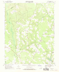
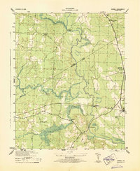
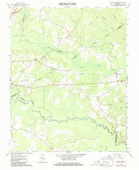
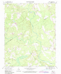
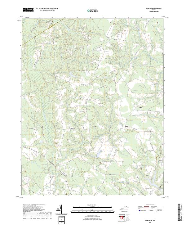
1969 Map of Vicksville
USGS Topo · Published 1970About this map
The Norfolk and Western railroad cuts a straight line through the wet bottomlands of Southampton County, connecting small rural hubs like Sebrell and Beales. This 1969 field-checked landscape is defined by its water system, where the Assamoosick Swamp and Round Hill Swamp dictate the placement of roads and farmsteads. Near Vicksville, a Lookout Tower stands as a focal point for the surrounding timber and agricultural lands.
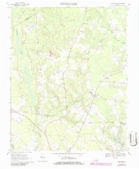
Find a feature on this map
24 named features on this map. Tap any name to fly to it.
Don’t see what you’re looking for? This feature index may not catch every label — zoom into the map to look around manually.
Map Details
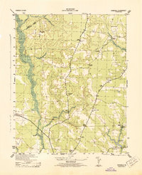
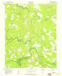
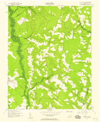
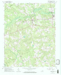
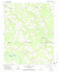
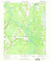
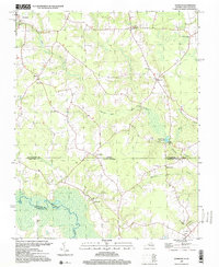
Editions of this 1969 Vicksville Map
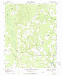
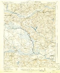
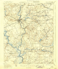
Historical Maps of Beales Through Time
24 maps found

1919 Arringdale
Southampton County, VA
1920 Arringdale
Southampton County, VA
1920 Holland
Southampton County, VA

1942 Arringdale
Southampton County, VA

1943 Holland
Southampton County, VA
1943 Sebrell
Southampton County, VA
1943 Vicksville
Southampton County, VA

1957 Holland
Southampton County, VA
1957 Sebrell
Southampton County, VA
1957 Vicksville
Southampton County, VA
1966 Adams Grove
Southampton County, VA
1966 Drewryville
Southampton County, VA
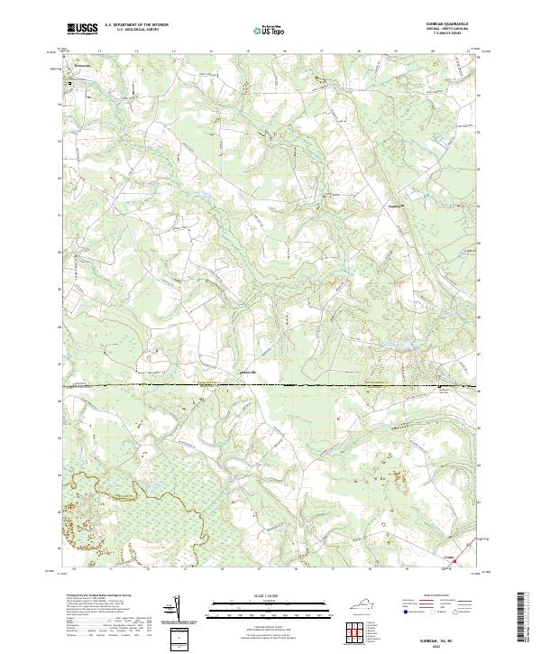
1966 Sunbeam
Southampton County, VA
1967 Riverdale
Southampton County, VA
1968 Sebrell
Southampton County, VA
1969 Vicksville
Southampton County, VA
1985 Norfolk
Southampton County, VA
1997 Sunbeam
Southampton County, VA
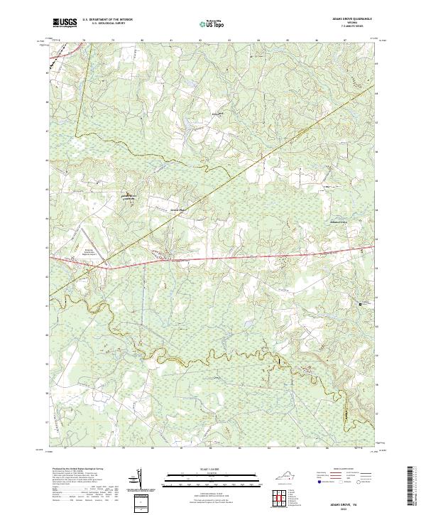
2022 Adams Grove
Southampton County, VA
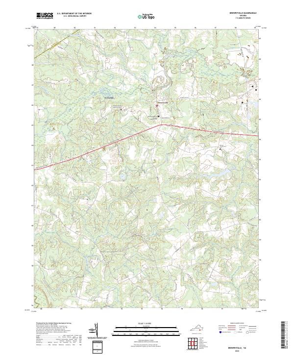
2022 Drewryville
Southampton County, VA
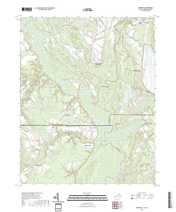
2022 Riverdale
Southampton County, VA
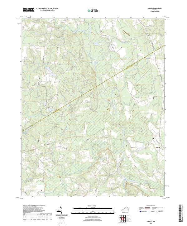
2022 Sebrell
Southampton County, VA
2022 Sunbeam
Southampton County, VA
2022 Vicksville
Southampton County, VA