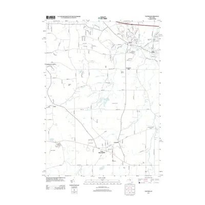
2013 Map of Victor
USGS Topo · Published 2013About this map
Victor sits at the northern edge of this Ontario County landscape, where the waters of Great Brook and Mud Cr define the local drainage patterns. The map highlights a cluster of established villages and agricultural holdings, including East Bloomfield, Holcomb, and the Sullivans Farm. This 2013 survey reveals a blend of traditional land use and modern utility, from the elevations of Boughton Hill and Hopper Hills to the specialized recreation found at the Victor Christmas Tree Farm.
Find a feature on this map
147 named features on this map. Tap any name to fly to it.
Don’t see what you’re looking for? This feature index may not catch every label — zoom into the map to look around manually.
Map Details
Editions of this 2013 Victor Map
This is the sole edition of this map. No revisions or reprints were ever made.
Other maps of this area

1895 · Rochester
USGS Topo · 1:62,500

1898 · Rochester
USGS Topo · 1:62,500

1900 · Macedon
USGS Topo · 1:62,500

1900 · Canandaigua
USGS Topo · 1:62,500

1901 · Honeoye
USGS Topo · 1:62,500

1903 · Canandaigua
USGS Topo · 1:62,500

1904 · Honeoye
USGS Topo · 1:62,500

1912 · Rochester
USGS Topo · 1:62,500

1920 · Rochester
USGS Topo · 1:62,500

1931 · Mendon Ponds
USGS Topo · 1:24,000