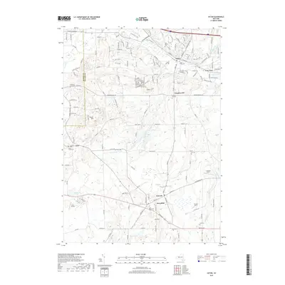
2019 Map of Victor
USGS Topo · Published 2019About this map
Victor and Bloomfield anchor this landscape in northwestern Ontario County, where modern infrastructure meets historical settlement patterns along the Monroe and Ontario county line. The terrain is defined by distinct elevations like Hopper Hills and Boughton Hill, the latter of which features a dedicated Boughton Hill Cemetery. A dense network of watercourses, including Sucker Brook, Fish Creek, and Mud Creek, flows through the valley floor, while the Fairport Reservoirs indicate the managed water resources essential to this region.
Find a feature on this map
154 named features on this map. Tap any name to fly to it.
Don’t see what you’re looking for? This feature index may not catch every label — zoom into the map to look around manually.
Map Details
Editions of this 2019 Victor Map
This is the sole edition of this map. No revisions or reprints were ever made.
Other maps of this area

1895 · Rochester
USGS Topo · 1:62,500

1898 · Rochester
USGS Topo · 1:62,500

1900 · Macedon
USGS Topo · 1:62,500

1900 · Canandaigua
USGS Topo · 1:62,500

1901 · Honeoye
USGS Topo · 1:62,500

1903 · Canandaigua
USGS Topo · 1:62,500

1904 · Honeoye
USGS Topo · 1:62,500

1912 · Rochester
USGS Topo · 1:62,500

1920 · Rochester
USGS Topo · 1:62,500

1931 · Mendon Ponds
USGS Topo · 1:24,000