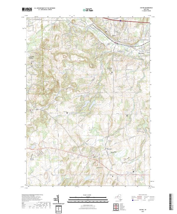
2023 Map of Victor
USGS Topo · Published 2023About this map
Victor serves as a primary hub of development in this part of Ontario County, with its grid of streets such as W Main St and E Main St branching into the surrounding hills. The landscape is notably punctuated by glacial features like the Hopper Hills and Fort Hill, while the local drainage is defined by several waterways including Ganargua Creek and Great Brook. Evidence of early settlement and genealogy can be traced through numerous burial grounds, including the Victor Village Cem and the Saint Patrick Cem. In the southern portion of the quadrangle, the distinct settlements of Holcomb and Bloomfield are located near Fish Creek. Small airfields like Creekside Airport and Turnbull Airport reflect the mix of rural and suburban land use common in this region of Western New York.
Find a feature on this map
63 named features on this map. Tap any name to fly to it.
Don’t see what you’re looking for? This feature index may not catch every label — zoom into the map to look around manually.
Map Details
Editions of this 2023 Victor Map
This is the sole edition of this map. No revisions or reprints were ever made.
Other maps of this area

1895 · Rochester
USGS Topo · 1:62,500

1898 · Rochester
USGS Topo · 1:62,500

1900 · Macedon
USGS Topo · 1:62,500

1900 · Canandaigua
USGS Topo · 1:62,500

1901 · Honeoye
USGS Topo · 1:62,500

1903 · Canandaigua
USGS Topo · 1:62,500

1904 · Honeoye
USGS Topo · 1:62,500

1912 · Rochester
USGS Topo · 1:62,500

1920 · Rochester
USGS Topo · 1:62,500

1931 · Mendon Ponds
USGS Topo · 1:24,000