
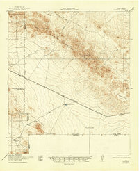
1918 Map of Victorio
USGS Topo · Published 1918About this map
The Cedar Mountain Range dominates this 1918 topographical study of the New Mexico borderlands, a landscape defined by ranching and early mining ventures. The El Paso and Southwestern railroad cuts diagonally across the arid terrain, connecting the settlement of Victorio with the wider regional economy. This corridor was vital for the movement of cattle and ore during the early 20th century, as evidenced by the network of water sources like Wamels Pond and Wamels Upper Well that supported livestock in the open range.
Find a feature on this map
22 named features on this map. Tap any name to fly to it.
Don’t see what you’re looking for? This feature index may not catch every label — zoom into the map to look around manually.
Map Details
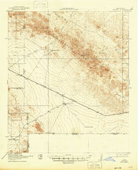
Editions of this 1918 Victorio Map
Other maps of this area

1899 · Deming
USGS Topo · 1:125,000

1915 · Deming
USGS Topo · 1:125,000

1917 · Hermanas
USGS Topo · 1:62,500

1918 · Big Hatchet Peak
USGS Topo · 1:62,500

1918 · Hachita
USGS Topo · 1:62,500

1918 · Hermanas
USGS Topo · 1:62,500

1943 · Hermanas
USGS Topo · 1:62,500

1953 · El Paso
USGS Topo · 1:250,000

1954 · Silver City
USGS Topo · 1:250,000

1955 · Douglas
USGS Topo · 1:250,000