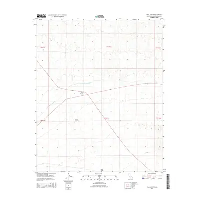
2015 Map of Vidal Junction
USGS Topo · Published 2015About this map
Vidal Junction serves as the central hub of this desert landscape, situated at the intersection of major transit routes within the Mojave Desert. The map documents a critical piece of California's water infrastructure, showing the path of the Colorado River Aqueduct as it traverses the arid terrain toward coastal population centers. The surrounding environment is characterized by the broad reaches of the Vidal Valley and the intermittent drainage of Vidal Wash. This 2015 survey reflects the modern configuration of this remote outpost, where the convergence of highways and hydraulic engineering defines the local geography. The topography illustrates the gradual transition from the basin floor toward the elevated boundaries of the San Bernardino County desert, providing a clear record of the region's physical and constructed landmarks in the early 21st century.
Find a feature on this map
11 named features on this map. Tap any name to fly to it.
Don’t see what you’re looking for? This feature index may not catch every label — zoom into the map to look around manually.
Map Details
Editions of this 2015 Vidal Junction Map
This is the sole edition of this map. No revisions or reprints were ever made.
Other maps of this area

1911 · Parker
USGS Topo · 1:125,000

1943 · Whipple Mts.
USGS Topo · 1:62,500

1943 · Parker
USGS Topo · 1:62,500

1943 · Vidal
USGS Topo · 1:62,500

1949 · Parker
USGS Topo · 1:62,500

1949 · Vidal
USGS Topo · 1:62,500

1950 · Parker
USGS Topo · 1:62,500

1950 · Vidal
USGS Topo · 1:62,500

1950 · Whipple Mts
USGS Topo · 1:62,500

1950 · Savahia Peak
USGS Topo · 1:62,500