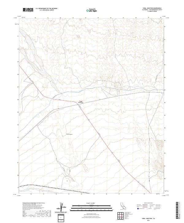
2021 Map of Vidal Junction
USGS Topo · Published 2021About this map
Vidal Junction serves as the central focal point of this desert landscape, marking the intersection of US Rte 95 and Highway 62 in the eastern Mojave Desert. The map reveals the critical infrastructure required to move water through this arid environment, most notably the path of the Colorado River Aqueduct and the adjacent Aquaduct Rd. These features illustrate the mid-century engineering efforts to support regional growth by diverting water across the California landscape.
Find a feature on this map
13 named features on this map. Tap any name to fly to it.
Don’t see what you’re looking for? This feature index may not catch every label — zoom into the map to look around manually.
Map Details
Editions of this 2021 Vidal Junction Map
This is the sole edition of this map. No revisions or reprints were ever made.
Other maps of this area

1911 · Parker
USGS Topo · 1:125,000

1943 · Whipple Mts.
USGS Topo · 1:62,500

1943 · Parker
USGS Topo · 1:62,500

1943 · Vidal
USGS Topo · 1:62,500

1949 · Parker
USGS Topo · 1:62,500

1949 · Vidal
USGS Topo · 1:62,500

1950 · Parker
USGS Topo · 1:62,500

1950 · Vidal
USGS Topo · 1:62,500

1950 · Whipple Mts
USGS Topo · 1:62,500

1950 · Savahia Peak
USGS Topo · 1:62,500