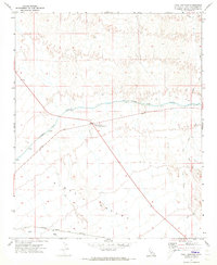
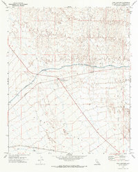
1971 Map of Vidal Junction
USGS Topo · Published 1973About this map
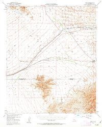
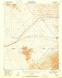
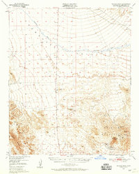
Vidal Valley serves as the focal point for this 1971 study, showing a desert landscape defined by major infrastructure and transit corridors. The Vidal Junction (Plant Quarantine Station) marks a critical highway intersection where a Landing Strip and various survey benchmarks denote human activity in an otherwise arid expanse. The most striking engineering feature is the Colorado River Aqueduct, which traverses the terrain via a series of Siphons, moving water across the basin.
Find a feature on this map
18 named features on this map. Tap any name to fly to it.
Don’t see what you’re looking for? This feature index may not catch every label — zoom into the map to look around manually.
Map Details
Editions of this 1971 Vidal Junction Map
2 editions found
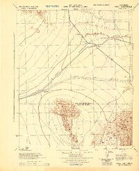
Other maps of this area

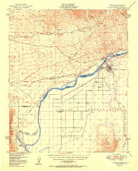
1911 · Parker
USGS Topo · 1:125,000

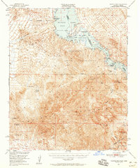
1943 · Whipple Mts.
USGS Topo · 1:62,500

1943 · Parker
USGS Topo · 1:62,500
1943 · Vidal
USGS Topo · 1:62,500
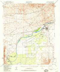
1949 · Parker
USGS Topo · 1:62,500
1949 · Vidal
USGS Topo · 1:62,500
1950 · Parker
USGS Topo · 1:62,500
1950 · Vidal
USGS Topo · 1:62,500
1950 · Whipple Mts
USGS Topo · 1:62,500
1950 · Savahia Peak
USGS Topo · 1:62,500