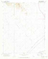
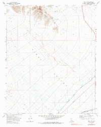
1971 Map of Vidal NW
USGS Topo · Published 1973About this map
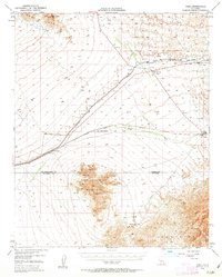
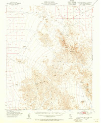
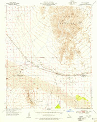
Turtle Mountains rise sharply in the northwest corner of this desert landscape, anchored by the high point of Negro Peak. The terrain falls away into the broad expanse of the Vidal Valley, a region defined in the early 1970s by massive infrastructure projects and sparse transportation routes. The most prominent human-made feature is the Colorado River Aqueduct, which cuts a diagonal line across the valley floor, carrying water through the arid environment. Along the southern edge, the Atchison Topeka and Santa Fe railroad parallels the Vidal Wash, marking a vital transit corridor. Numerous benchmarks and a network of Jeep Trails suggest a landscape used for surveying and resource exploration, while 95 provides the primary north-south road access through this corner of San Bernardino County.
Find a feature on this map
13 named features on this map. Tap any name to fly to it.
Don’t see what you’re looking for? This feature index may not catch every label — zoom into the map to look around manually.
Map Details
Editions of this 1971 Vidal NW Map
2 editions found
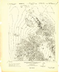
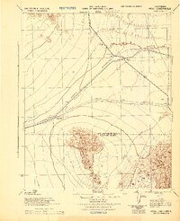
Other maps of this area
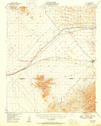
1943 · Turtle Mts.
USGS Topo · 1:62,500
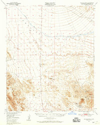
1943 · Vidal
USGS Topo · 1:62,500
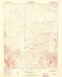
1949 · Vidal
USGS Topo · 1:62,500
1950 · Vidal
USGS Topo · 1:62,500
1950 · Savahia Peak
USGS Topo · 1:62,500
1951 · Savahia Peak
USGS Topo · 1:62,500

1954 · Needles
USGS Topo · 1:250,000
1954 · Turtle Mountains
USGS Topo · 1:62,500
1954 · Rice
USGS Topo · 1:62,500

1956 · Needles
USGS Topo · 1:250,000