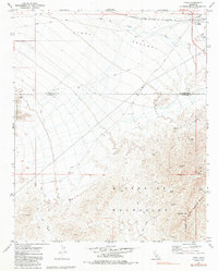
1971 Map of Vidal
USGS Topo · Published 1985About this map
Vidal sits at the northern edge of this arid landscape, serving as a railroad junction where the Atchison Topeka and Santa Fe line cuts through the Vidal Valley. The map reveals a high concentration of mining activity concentrated in the rugged Riverside Mountains and the West Riverside Mountains. Prospectors and historians can trace numerous specific operations, such as the Gold Dollar Mine, Calzona Mine, and the Alice Mine. This 1970s survey illustrates a region defined by its isolation and industry, where transportation was dominated by the Jeep Trail network and the legacy of the Old Blythe Road. Along the eastern margin, the Colorado River serves as a critical boundary, while landmarks like Holly Cem and the Landing Strip near town provide vital points of interest for genealogists and local historians.
Find a feature on this map
31 named features on this map. Tap any name to fly to it.
Don’t see what you’re looking for? This feature index may not catch every label — zoom into the map to look around manually.
Map Details
Editions of this 1971 Vidal Map
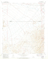
2 editions found
Other maps of this area

1911 · Parker
USGS Topo · 1:125,000

1931 · Moon Mtn
USGS Topo · 1:62,500

1932 · Moon Mtn
USGS Topo · 1:62,500

1942 · Blythe
USGS Topo · 1:250,000

1942 · MOON MTN
USGS Topo · 1:62,500

1943 · Parker
USGS Topo · 1:62,500

1943 · Vidal
USGS Topo · 1:62,500

1945 · Big Maria Mtns
USGS Topo · 1:62,500

1949 · Parker
USGS Topo · 1:62,500

1949 · Vidal
USGS Topo · 1:62,500