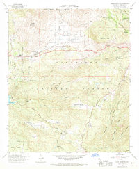
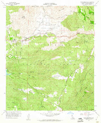
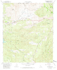
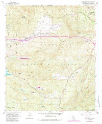
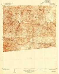
1960 Map of Viejas Mountain
USGS Topo · Published 1968About this map
Viejas Indian Reservation and the Capitan Grande Indian Reservation anchor this 1960s landscape, illustrating the complex land divisions of San Diego County. The high peaks of Viejas Mountain and the Cuyamaca Mts dominate the topography, while the Sweetwater River and Viejas Creek carve deep valleys through the Cleveland National Forest. Small settlements and outposts like Hulburd Grove, The Willows, and the Alpine Guard Sta are scattered along the narrow winding roads, including the Old Viejas Grade Rd.
Find a feature on this map
29 named features on this map. Tap any name to fly to it.
Don’t see what you’re looking for? This feature index may not catch every label — zoom into the map to look around manually.
Map Details
Editions of this 1960 Viejas Mountain Map
5 editions found

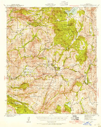
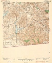
Other maps of this area

1893 · El Cajon
USGS Topo · 1:62,500

1901 · Elcajon
USGS Topo · 1:62,500

1903 · Cuyamaca
USGS Topo · 1:125,000

1903 · Elcajon
USGS Topo · 1:62,500

1904 · Southern California Sheet No. 2
USGS Topo · 1:250,000

1939 · El Cajon
USGS Topo · 1:62,500
1942 · Potrero
USGS Topo · 1:48,000

1942 · El Cajon
USGS Topo · 1:62,500
1942 · Cuyamaca Peak
USGS Topo · 1:62,500
1943 · Jamul
USGS Topo · 1:62,500