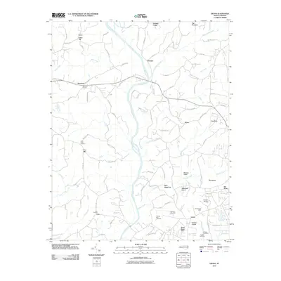
2010 Map of Vienna
USGS Topo · Published 2010About this map
The Yadkin River and its tributary, the Little Yadkin River, carve a central path through this portion of Forsyth County, shaping a landscape defined by its waterways and small, dispersed settlements. This 2010 survey records the established rural character of the area, anchored by locations like Vienna, Donnaha, and Macedonia. The map serves as a detailed record for genealogists, documenting family and community heritage through sites such as Union Hill Cemetery, Macedonia Cemetery, and Enon Cemetery.
Find a feature on this map
93 named features on this map. Tap any name to fly to it.
Don’t see what you’re looking for? This feature index may not catch every label — zoom into the map to look around manually.
Map Details
Editions of this 2010 Vienna Map
This is the sole edition of this map. No revisions or reprints were ever made.
Other maps of this area

1891 · Yadkinville
USGS Topo · 1:125,000

1893 · Yadkinville
USGS Topo · 1:125,000

1950 · Winston-Salem West
USGS Topo · 1:24,000

1951 · Winston-Salem West
USGS Topo · 1:24,000

1951 · Rural Hall
USGS Topo · 1:24,000

1953 · Winston-Salem
USGS Topo · 1:250,000

1955 · Winston-Salem
USGS Topo · 1:250,000

1962 · Winston-Salem
USGS Topo · 1:250,000

1964 · Pinnacle
USGS Topo · 1:24,000

1964 · King
USGS Topo · 1:24,000