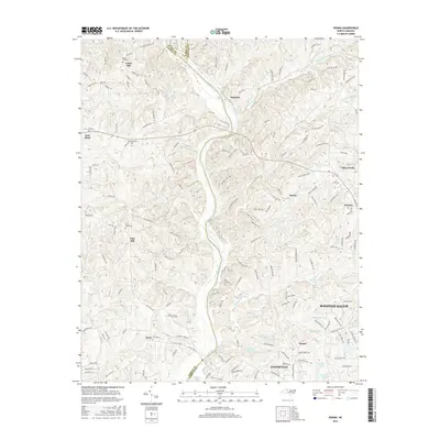
2016 Map of Vienna
USGS Topo · Published 2016About this map
The Yadkin River carves a prominent path through this territory, serving as the natural boundary where Surry, Yadkin, and Forsyth counties converge. This landscape is defined by the rural-to-suburban transition on the western outskirts of Winston-Salem, where small settlements like Tobaccoville and Vienna maintain their distinct identities amidst a network of winding creeks and ridges. The presence of several established burial grounds, including Union Hill Cem and Macedonia Cem, indicates long-standing family settlements in this fertile river valley.
Find a feature on this map
158 named features on this map. Tap any name to fly to it.
Don’t see what you’re looking for? This feature index may not catch every label — zoom into the map to look around manually.
Map Details
Editions of this 2016 Vienna Map
This is the sole edition of this map. No revisions or reprints were ever made.
Other maps of this area

1891 · Yadkinville
USGS Topo · 1:125,000

1893 · Yadkinville
USGS Topo · 1:125,000

1950 · Winston-Salem West
USGS Topo · 1:24,000

1951 · Winston-Salem West
USGS Topo · 1:24,000

1951 · Rural Hall
USGS Topo · 1:24,000

1953 · Winston-Salem
USGS Topo · 1:250,000

1955 · Winston-Salem
USGS Topo · 1:250,000

1962 · Winston-Salem
USGS Topo · 1:250,000

1964 · Pinnacle
USGS Topo · 1:24,000

1964 · King
USGS Topo · 1:24,000