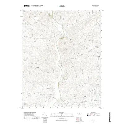
2019 Map of Vienna
USGS Topo · Published 2019About this map
The Yadkin River serves as a prominent natural boundary between Yadkin and Forsyth counties, anchoring a landscape defined by small settlements and family burial grounds. Local history is deeply rooted in sites such as Union Hill Cem and Enon Cem, while the town of East Bend stands as a primary population center near the western edge. The presence of Trading Post Lake and Solomon Lake suggests the importance of water management and recreation within the rural tracts surrounding Vienna and Lewisville. The terrain is characterized by gentle elevations like Stony Knoll, with numerous creeks such as Miller Cr and Bashavia Cr carving through the countryside. This modern survey reflects the steady expansion of the Winston-Salem outskirts, showing the densification of road networks like Union Hill Rd and Flint Hill Rd connecting historic crossroads.
Find a feature on this map
172 named features on this map. Tap any name to fly to it.
Don’t see what you’re looking for? This feature index may not catch every label — zoom into the map to look around manually.
Map Details
Editions of this 2019 Vienna Map
This is the sole edition of this map. No revisions or reprints were ever made.
Other maps of this area

1891 · Yadkinville
USGS Topo · 1:125,000

1893 · Yadkinville
USGS Topo · 1:125,000

1950 · Winston-Salem West
USGS Topo · 1:24,000

1951 · Winston-Salem West
USGS Topo · 1:24,000

1951 · Rural Hall
USGS Topo · 1:24,000

1953 · Winston-Salem
USGS Topo · 1:250,000

1955 · Winston-Salem
USGS Topo · 1:250,000

1962 · Winston-Salem
USGS Topo · 1:250,000

1964 · Pinnacle
USGS Topo · 1:24,000

1964 · King
USGS Topo · 1:24,000