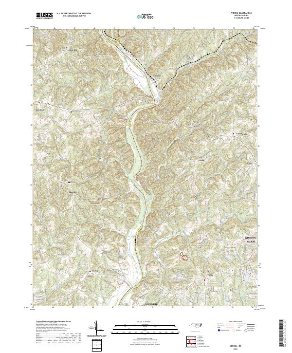
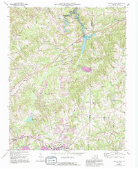
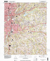
2023 Map of Vienna
USGS Topo · Published 2023About this map
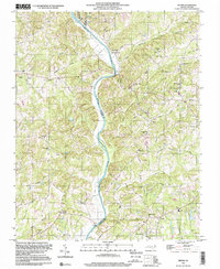
The Yadkin River serves as the primary geographical divider in this region, separating Yadkin, Surry, and Forsyth counties. This corridor is marked by a network of small, established settlements such as Donnaha and Tobaccoville, which reflect the area's agricultural and rural roots. Historically significant sites for researchers include several community burial grounds like Union Hill Cem, Macedonia Cem, and Stony Knoll Cem, alongside the Enon Baptist Church.
Find a feature on this map
162 named features on this map. Tap any name to fly to it.
Don’t see what you’re looking for? This feature index may not catch every label — zoom into the map to look around manually.
Map Details
Editions of this 2023 Vienna Map
This is the sole edition of this map. No revisions or reprints were ever made.
Historical Maps of Union Hill Through Time
17 maps found
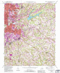
1950 Winston-Salem East
Forsyth County, NC
1950 Winston-Salem West
Forsyth County, NC

1951 Winston-Salem East
Forsyth County, NC

1951 Winston-Salem West
Forsyth County, NC
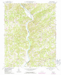
1968 Vienna
Forsyth County, NC
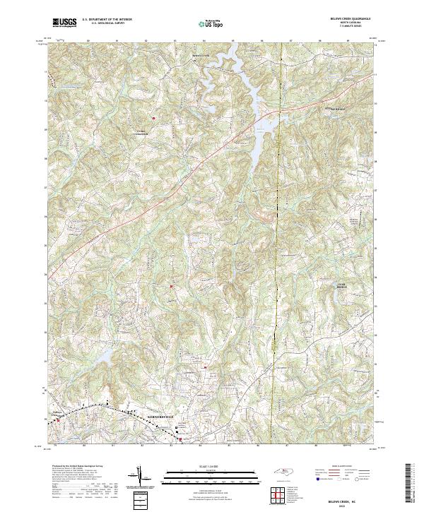
1969 Belews Creek
Forsyth County, NC
1977 Belews Creek
Forsyth County, NC
1977 Winston-Salem East
Forsyth County, NC
1977 Winston-Salem West
Forsyth County, NC
1997 Vienna
Forsyth County, NC
1997 Winston-Salem East
Forsyth County, NC
1997 Winston-Salem West
Forsyth County, NC
2000 Belews Creek
Forsyth County, NC
2022 Belews Creek
Forsyth County, NC
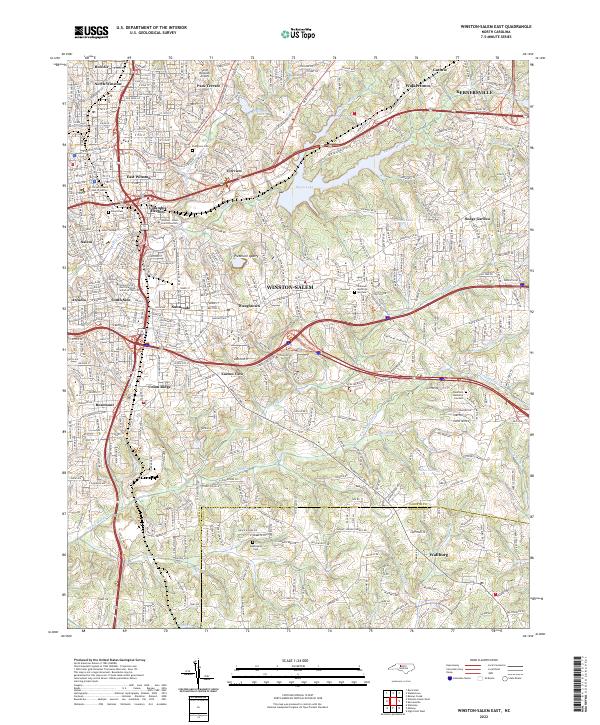
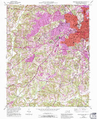
2022 Winston-Salem East
Forsyth County, NC
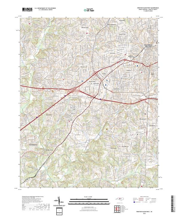
2022 Winston-Salem West
Forsyth County, NC
2023 Vienna
Forsyth County, NC