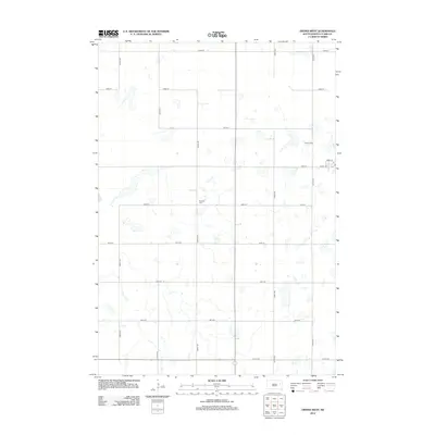
2012 Map of Vienna West
USGS Topo · Published 2012About this map
The glaciated prairie of eastern Clark County is defined by a dense network of seasonal wetlands and prairie potholes in this 2012 survey. The landscape is organized by a strict section-line road grid, including 430th Ave and 182nd St, which navigate around numerous unnamed water bodies. Family history and local heritage are anchored by Pleasant Cem and Vienna Cem, the latter situated just north of the residential streets of the community. The town layout is partially visible along the eastern edge, featuring Clark Ave and Howe St, while Co Hwy-40 provides the primary east-west corridor through the southern half of the quadrangle. This map documents a rural agricultural landscape where the natural hydrology of the Great Plains continues to influence the placement of thoroughfares and homesteads.
Find a feature on this map
18 named features on this map. Tap any name to fly to it.
Don’t see what you’re looking for? This feature index may not catch every label — zoom into the map to look around manually.
Map Details
Editions of this 2012 Vienna West Map
This is the sole edition of this map. No revisions or reprints were ever made.
Other maps of this area

1953 · Watertown
USGS Topo · 1:250,000

1958 · Watertown
USGS Topo · 1:250,000

1973 · Willow Lake
USGS Topo · 1:24,000

1973 · Clark South
USGS Topo · 1:24,000

1973 · Bryant
USGS Topo · 1:24,000

1973 · Vienna West
USGS Topo · 1:24,000
1973 · Cherry Lake
USGS Topo · 1:24,000

1973 · Naples
USGS Topo · 1:24,000
1973 · Willow Lake SW
USGS Topo · 1:24,000

1973 · Vienna East
USGS Topo · 1:24,000