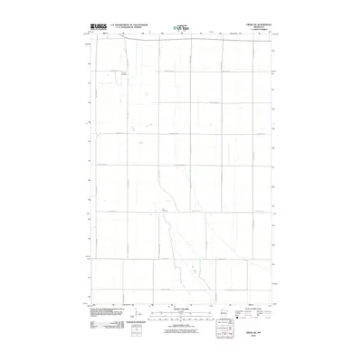
2010 Map of Viking SE
USGS Topo · Published 2010About this map
Lanstad Cemetery and Rux Cemetery serve as the primary land-based anchors in this section of Pennington County, indicating the localized family and community histories rooted in this rural landscape. The area is defined by a rigorous grid of section lines and secondary roads, including County Hwy-72, County Hwy-13, and County Hwy-62, which partition the territory into large agricultural plots. This road network, which also includes arterial routes like County Hwy-7 and Center St W, reflects the systematic land organization common in the American Midwest. The drainage patterns and minor water features suggests a low-relief environment where drainage management is central to the land's utility, while the placement of cemeteries along these corridors provides a tangible link to the area's genealogical past.
Find a feature on this map
16 named features on this map. Tap any name to fly to it.
Don’t see what you’re looking for? This feature index may not catch every label — zoom into the map to look around manually.
Map Details
Editions of this 2010 Viking SE Map
This is the sole edition of this map. No revisions or reprints were ever made.
Other maps of this area

1918 · Terrebonne
USGS Topo · 1:62,500

1918 · Red Lake Falls
USGS Topo · 1:62,500

1918 · Viking
USGS Topo · 1:62,500

1943 · Thief River Falls
USGS Topo · 1:62,500

1952 · Red Lake Falls
USGS Topo · 1:62,500

1952 · Grand Forks
USGS Topo · 1:250,000

1952 · Thief River Falls
USGS Topo · 1:250,000

1956 · Thief River Falls
USGS Topo · 1:250,000

1956 · Grand Forks
USGS Topo · 1:250,000

1957 · Thief River Falls
USGS Topo · 1:250,000