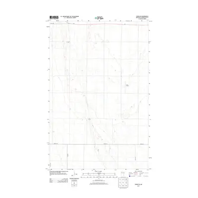
2013 Map of Viking SE
USGS Topo · Published 2013About this map
The agricultural plains of northwestern Minnesota are defined by a strict section-line grid in this Pennington County survey. Stretching across the northern edge, MN-1 serves as the primary east-west artery, while Co Hwy-12 and 150th Ave NW establish the north-south corridors. The landscape is sparsely populated, with development concentrated along these gravel and paved routes. Genealogists can identify significant local burial sites such as Lanstad Cem in the northwest and Rux Cem toward the center of the quadrangle. These markers, alongside the privately-held Willis Airport, represent the primary landmarks in an area dominated by large-scale field patterns. The map captures the quiet persistence of these rural townships, where place names are often tied to these small, established cemeteries and family-held aviation strips.
Find a feature on this map
10 named features on this map. Tap any name to fly to it.
Don’t see what you’re looking for? This feature index may not catch every label — zoom into the map to look around manually.
Map Details
Editions of this 2013 Viking SE Map
This is the sole edition of this map. No revisions or reprints were ever made.
Other maps of this area

1918 · Terrebonne
USGS Topo · 1:62,500

1918 · Red Lake Falls
USGS Topo · 1:62,500

1918 · Viking
USGS Topo · 1:62,500

1943 · Thief River Falls
USGS Topo · 1:62,500

1952 · Red Lake Falls
USGS Topo · 1:62,500

1952 · Grand Forks
USGS Topo · 1:250,000

1952 · Thief River Falls
USGS Topo · 1:250,000

1956 · Thief River Falls
USGS Topo · 1:250,000

1956 · Grand Forks
USGS Topo · 1:250,000

1957 · Thief River Falls
USGS Topo · 1:250,000