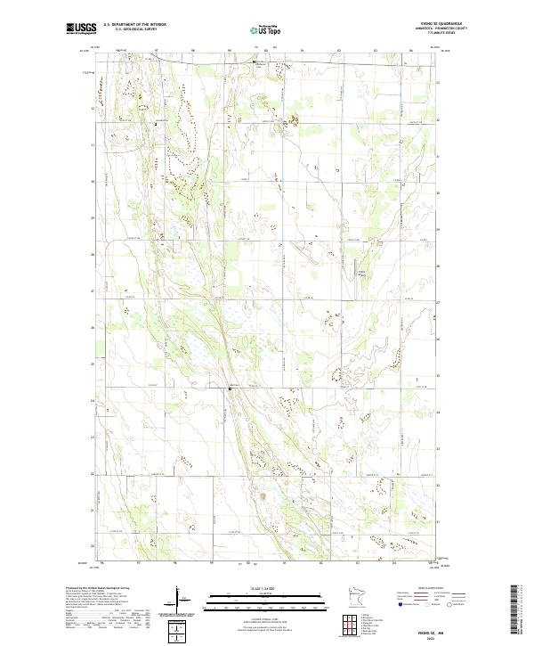
2022 Map of Viking SE
USGS Topo · Published 2022About this map
Norden-Lutheran Cem and Lanstad Cem sit within a landscape of Pennington County defined by its systematic township and range divisions. The area is characterized by a dense network of sectional roads, including Co Hwy 8 and 160th St NW, which weave through numerous wetlands and small prairie potholes common to this part of northern Minnesota. This late-stage survey reflects the persistence of rural heritage through the preservation of family and church landmarks like the Rux Cem and the small-scale aviation infrastructure of Willis Airport. The concentration of drainage patterns and water bodies indicates the agricultural character of the region, where roads like Center St W and Co Rd 57 provide the primary framework for local travel and farm access between the townships of T154N, T153N, and T152N.
Find a feature on this map
37 named features on this map. Tap any name to fly to it.
Don’t see what you’re looking for? This feature index may not catch every label — zoom into the map to look around manually.
Map Details
Editions of this 2022 Viking SE Map
This is the sole edition of this map. No revisions or reprints were ever made.
Other maps of this area

1918 · Terrebonne
USGS Topo · 1:62,500

1918 · Red Lake Falls
USGS Topo · 1:62,500

1918 · Viking
USGS Topo · 1:62,500

1943 · Thief River Falls
USGS Topo · 1:62,500

1952 · Red Lake Falls
USGS Topo · 1:62,500

1952 · Grand Forks
USGS Topo · 1:250,000

1952 · Thief River Falls
USGS Topo · 1:250,000

1956 · Thief River Falls
USGS Topo · 1:250,000

1956 · Grand Forks
USGS Topo · 1:250,000

1957 · Thief River Falls
USGS Topo · 1:250,000