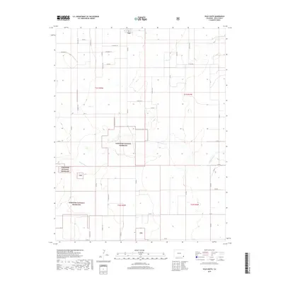
2019 Map of Vilas South
USGS Topo · Published 2019About this map
Vilas sits at the northern edge of this high plains landscape, serving as a primary point of reference in a region defined by agricultural sections and conserved prairie. Much of the southern portion of the quadrangle is occupied by the Comanche National Grassland, where the terrain is marked by the drainages of Sand Arroyo Cr and Dry Cr. The map details a precise grid of county roads, such as Comanche National Grassland and Co RD BB, which delineate the ranching and farming divisions characteristic of Baca County. These public lands, often marked with the abbreviation Cng, illustrate the federal management of the grasslands south of the town center, preserving the open character of the Colorado plains.
Find a feature on this map
21 named features on this map. Tap any name to fly to it.
Don’t see what you’re looking for? This feature index may not catch every label — zoom into the map to look around manually.
Map Details
Editions of this 2019 Vilas South Map
This is the sole edition of this map. No revisions or reprints were ever made.
Other maps of this area
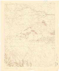
1891 · Springfield
USGS Topo · 1:125,000
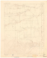
1892 · Vilas
USGS Topo · 1:125,000
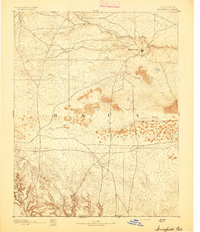
1893 · Springfield
USGS Topo · 1:125,000

1955 · La Junta
USGS Topo · 1:250,000

1958 · La Junta
USGS Topo · 1:250,000

1968 · La Junta
USGS Topo · 1:250,000
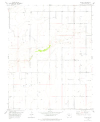
1978 · Walsh SE
USGS Topo · 1:24,000
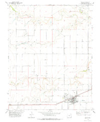
1978 · Walsh
USGS Topo · 1:24,000
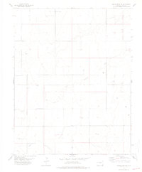
1978 · Moore Draw NE
USGS Topo · 1:24,000
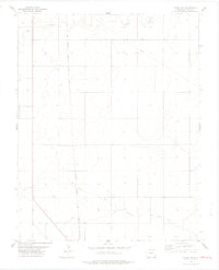
1978 · Campo NE
USGS Topo · 1:24,000