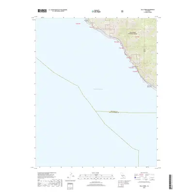
2018 Map of Villa Creek
USGS Topo · Published 2018About this map
The Santa Lucia Range dominates the eastern margin of this coastal survey, where steep slopes within the Los Padres National Forest meet the Pacific Ocean. This stretch of the Central Coast is characterized by deep drainage systems including Villa Cr, Alder Cr, and the appropriately named Redwood Gulch. The map records the precise boundary where the Monterey Co line meets San Luis Obispo Co along the shore, a critical marker for local history and property research.
Find a feature on this map
15 named features on this map. Tap any name to fly to it.
Don’t see what you’re looking for? This feature index may not catch every label — zoom into the map to look around manually.
Map Details
Editions of this 2018 Villa Creek Map
This is the sole edition of this map. No revisions or reprints were ever made.
Other maps of this area

1919 · Piedras Blancas
USGS Topo · 1:62,500

1921 · Cape San Martin
USGS Topo · 1:62,500

1927 · Piedras Blancas
USGS Topo · 1:62,500

1941 · Cape San Martin
USGS Topo · 1:62,500

1942 · Cape San Martin
USGS Topo · 1:62,500

1947 · San Luis Obispo
USGS Topo · 1:250,000

1948 · San Luis Obispo
USGS Topo · 1:250,000
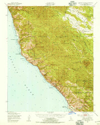
1948 · Cape San Martin
USGS Topo · 1:62,500
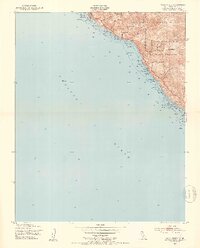
1949 · Villa Creek
USGS Topo · 1:24,000
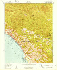
1949 · Burro Mountain
USGS Topo · 1:24,000