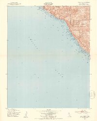
1949 Map of Villa Creek
USGS Topo · Published 1953About this map
Hunter Liggett Military Reservation dominates the landward portion of this coastal survey, where the rugged Santa Lucia range meets the Pacific Ocean. The landscape is defined by its administrative boundaries, showing the intersection of the Los Padres National Forest and the military reservation. Several steep drainages cut through the terrain toward the sea, including Villa Creek, Alder Creek, and Spruce Creek, which terminate at a rocky and kelp-strewn shoreline. The 1949 data reflects a sparsely populated wilderness area under federal management, focusing on the natural topography and military boundaries of the Monterey coast. A notable feature is Redwood Gulch, which highlights the specific botanical and geological pockets found along this isolated stretch of the Central Coast before later developments altered the regional character.
Find a feature on this map
11 named features on this map. Tap any name to fly to it.
Don’t see what you’re looking for? This feature index may not catch every label — zoom into the map to look around manually.
Map Details
Editions of this 1949 Villa Creek Map
5 editions found
Other maps of this area

1919 · Piedras Blancas
USGS Topo · 1:62,500

1921 · Cape San Martin
USGS Topo · 1:62,500

1927 · Piedras Blancas
USGS Topo · 1:62,500

1941 · Cape San Martin
USGS Topo · 1:62,500

1942 · Cape San Martin
USGS Topo · 1:62,500

1947 · San Luis Obispo
USGS Topo · 1:250,000

1948 · San Luis Obispo
USGS Topo · 1:250,000
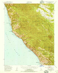
1948 · Cape San Martin
USGS Topo · 1:62,500
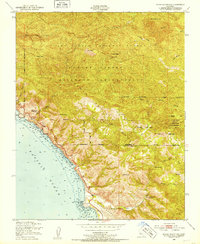
1949 · Burro Mountain
USGS Topo · 1:24,000
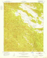
1949 · Alder Peak
USGS Topo · 1:24,000