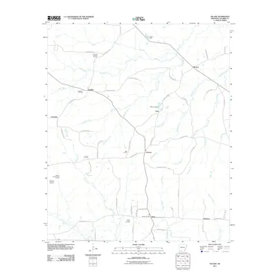
2011 Map of Village
USGS Topo · Published 2011About this map
Village serves as the central hub of this Columbia County landscape, where the local infrastructure is defined by a dense network of county roads and the regional energy industry. The presence of the Village Oil and Gas Field, alongside the East McNeil Oil and Gas Field and Warnock Springs Oil and Gas Field, indicates the significant role of petroleum extraction in the local economy during the early 21st century. These industrial sites are interspersed with quiet residential and agricultural areas, linked by routes such as Columbia Road 36 and Columbia Road 66.
Find a feature on this map
52 named features on this map. Tap any name to fly to it.
Don’t see what you’re looking for? This feature index may not catch every label — zoom into the map to look around manually.
Map Details
Editions of this 2011 Village Map
This is the sole edition of this map. No revisions or reprints were ever made.
Other maps of this area

1953 · El Dorado
USGS Topo · 1:250,000

1957 · El Dorado
USGS Topo · 1:250,000

1958 · El Dorado
USGS Topo · 1:250,000

1960 · El Dorado
USGS Topo · 1:250,000

1962 · Buena Vista
USGS Topo · 1:24,000

1962 · Mt Holly
USGS Topo · 1:24,000

1964 · Louann
USGS Topo · 1:62,500

1966 · Village
USGS Topo · 1:24,000

1966 · Calhoun
USGS Topo · 1:24,000

1966 · Spotville
USGS Topo · 1:24,000