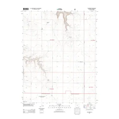
2013 Map of Villegreen
USGS Topo · Published 2013About this map
Villegreen sits at the center of this 2013 survey of the high plains in Las Animas County, where the landscape is defined by a network of deep drainages cutting through the prairie. The settlement is positioned near the junction of several county roads, including Co RD-44 and Co RD-179, serving as a local hub for the surrounding ranching country. The southern portion of the map is dominated by the protected acreage of the Comanche National Grassland, a region characterized by its dramatic canyon topography. Notable natural features include the winding Plum Canyon and Poitrey Canyon, which guide the seasonal flows of Plum Cr and Poitrey Cr respectively. To the northwest, the distinctive Seven D Pocket and Blue Water Canyon reveal the complex erosion patterns that shape this corner of Colorado.
Find a feature on this map
27 named features on this map. Tap any name to fly to it.
Don’t see what you’re looking for? This feature index may not catch every label — zoom into the map to look around manually.
Map Details
Editions of this 2013 Villegreen Map
This is the sole edition of this map. No revisions or reprints were ever made.
Other maps of this area

1891 · Mesa De Maya
USGS Topo · 1:125,000

1892 · Mt Carrizo
USGS Topo · 1:125,000

1893 · Mesa de Maya
USGS Topo · 1:125,000

1955 · La Junta
USGS Topo · 1:250,000

1958 · La Junta
USGS Topo · 1:250,000

1968 · La Junta
USGS Topo · 1:250,000

1972 · Johnson Canyon
USGS Topo · 1:24,000

1972 · Miners Peak
USGS Topo · 1:24,000

1972 · Plum Canyon
USGS Topo · 1:24,000

1972 · Tobe
USGS Topo · 1:24,000