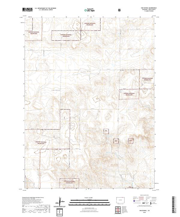
2022 Map of Vim School
USGS Topo · Published 2022About this map
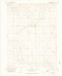
The Pawnee National Grassland dominates this high plains landscape in Weld County, where a network of section-line roads and seasonal drainage channels defines the terrain. The map details the subtle geography of the shortgrass prairie, marked by significant watercourses such as Sidney Draw and the branching path of Twomile Cr. These intermittent streams and natural water sources like Patton Spring and Raton Spring were historically vital for livestock and early ranching efforts in this arid region.
Find a feature on this map
24 named features on this map. Tap any name to fly to it.
Don’t see what you’re looking for? This feature index may not catch every label — zoom into the map to look around manually.
Map Details
Editions of this 2022 Vim School Map
This is the sole edition of this map. No revisions or reprints were ever made.
Other maps of this area

1954 · Sterling
USGS Topo · 1:250,000

1954 · Scottsbluff
USGS Topo · 1:250,000

1958 · Scottsbluff
USGS Topo · 1:250,000

1958 · Sterling
USGS Topo · 1:250,000
1972 · Bushnell SW
USGS Topo · 1:24,000

1972 · Kimball SW
USGS Topo · 1:24,000

1972 · Bushnell SE
USGS Topo · 1:24,000
1977 · Pawnee Buttes
USGS Topo · 1:24,000
1977 · Vim School
USGS Topo · 1:24,000
1977 · Gatehook Spring
USGS Topo · 1:24,000