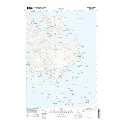
2014 Map of Vinalhaven
USGS Topo · Published 2014About this map
Vinalhaven serves as the focal point of this coastal survey, where the intricate geography of Knox County's island life is documented in detail. The settlement's connection to the surrounding sea and inlets is defined by essential crossings like the Carrying Place Bridge and Fish Hook Bridge, which link the various necks and points. This landscape is a patchwork of maritime history and local industry, featuring prominent quarries such as Lawson Quarry Pond and Booth Quarry Pond. These sites, alongside the Vinalhaven Airport, reflect the intersection of traditional island utility and modern infrastructure.
Find a feature on this map
205 named features on this map. Tap any name to fly to it.
Don’t see what you’re looking for? This feature index may not catch every label — zoom into the map to look around manually.
Map Details
Editions of this 2014 Vinalhaven Map
This is the sole edition of this map. No revisions or reprints were ever made.
Other maps of this area

1904 · Deer Isle
USGS Topo · 1:62,500

1904 · Vinalhaven
USGS Topo · 1:62,500

1905 · Penobscot Bay
USGS Topo · 1:125,000

1906 · Matinicus
USGS Topo · 1:62,500

1941 · Vinalhaven
USGS Topo · 1:62,500

1942 · Deer Isle
USGS Topo · 1:62,500

1944 · Vinalhaven
USGS Topo · 1:62,500

1944 · Deer Isle
USGS Topo · 1:62,500

1948 · Bangor
USGS Topo · 1:250,000

1948 · Bath
USGS Topo · 1:250,000