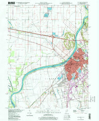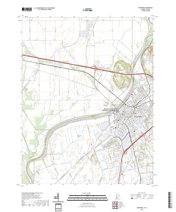
2022 Map of Vincennes
USGS Topo · Published 2022About this map
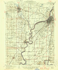
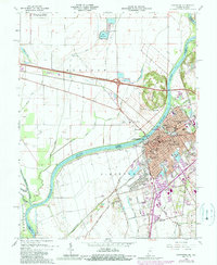
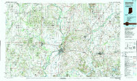
The Wabash River serves as the prominent boundary between Indiana and Illinois in this 2022 survey, with the historic city of Vincennes as the central focal point. The landscape is a mix of dense urban development and the reclaimed agricultural lands of Vincennes Prairie, where complex drainage systems like Allison Ditch and City Ditch manage the low-lying terrain. As the site of one of the earliest European settlements in the region, the city is dense with cultural landmarks, including the Old Cathedral and the Knox County Court House.
Find a feature on this map
133 named features on this map. Tap any name to fly to it.
Don’t see what you’re looking for? This feature index may not catch every label — zoom into the map to look around manually.
Map Details
Editions of this 2022 Vincennes Map
This is the sole edition of this map. No revisions or reprints were ever made.
Historical Maps of Vincennes Through Time
9 maps found