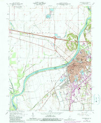
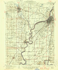
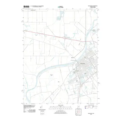
1965 Map of Vincennes
USGS Topo · Published 1989About this map
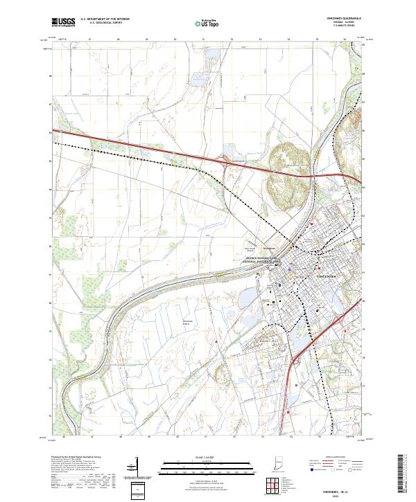
The Wabash River serves as the primary artery for this region, defining the state boundary and the civic layout of Vincennes. This survey documents a significant cultural and educational hub, centered around Vincennes University and several religious institutions such as St John Cath Ch and St Rose Academy. The town's historical importance is anchored by the George Rogers Clark National Historical Park and the Indian Territory State Memorial, marking its legacy as a frontier capital.
Find a feature on this map
118 named features on this map. Tap any name to fly to it.
Don’t see what you’re looking for? This feature index may not catch every label — zoom into the map to look around manually.
Map Details
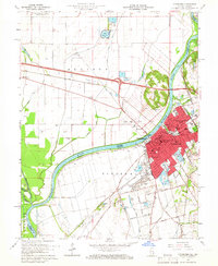
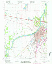
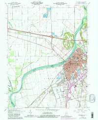
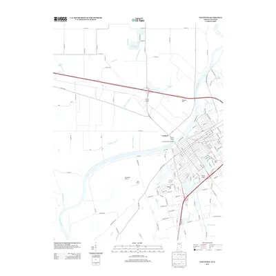
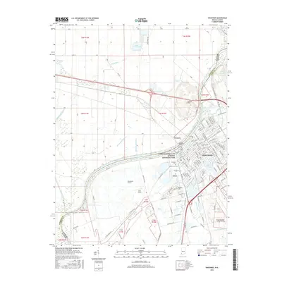
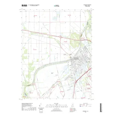
Editions of this 1965 Vincennes Map
4 editions found
Historical Maps of Vincennes Through Time
13 maps found
1915 Vincennes
Knox County, IN

1944 Vincennes
Knox County, IN
1956 Vincennes
Knox County, IN

1957 Vincennes
Knox County, IN

1958 Vincennes
Knox County, IN
1965 Vincennes
Knox County, IN
1986 Vincennes
Knox County, IN
1998 Vincennes
Knox County, IN
2010 Vincennes
Knox County, IN
2013 Vincennes
Knox County, IN
2016 Vincennes
Knox County, IN
2019 Vincennes
Knox County, IN
2022 Vincennes
Knox County, IN