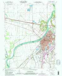
1965 Map of Vincennes
USGS Topo · Published 1989About this map
Vincennes stands as a significant riverfront hub where the Wabash River forms the state boundary between Indiana and Illinois. This survey reveals a dense urban center anchored by historical institutions like Vincennes University and the George Rogers Clark National Historical Park. The city's mid-century infrastructure is remarkably detailed, showing the convergence of the Penn Central, Baltimore and Ohio RR, and Louisville and Nashville RR. Beyond the city limits, the landscape transitions to the floodplains of Allison, where an extensive network of drainage including Allison Ditch and the Abandoned Ditch manages the low-lying terrain near the Embarras River. Local landmarks like the O'Neal Airport and settlements such as Westport provide essential context for the region's development during this era of photorevision.
Find a feature on this map
73 named features on this map. Tap any name to fly to it.
Don’t see what you’re looking for? This feature index may not catch every label — zoom into the map to look around manually.
Map Details
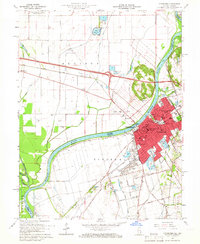
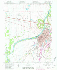
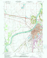
Editions of this 1965 Vincennes Map
4 editions found
Other maps of this area

1915 · Vincennes
USGS Topo · 1:62,500

1917 · Birds
USGS Topo · 1:62,500

1942 · Fritchton
USGS Topo · 1:24,000

1942 · Birds
USGS Topo · 1:62,500

1943 · Oaktown
USGS Topo · 1:24,000

1944 · Fritchton
USGS Topo · 1:24,000

1944 · Iona
USGS Topo · 1:24,000

1944 · Vincennes
USGS Topo · 1:62,500

1956 · Vincennes
USGS Topo · 1:250,000

1957 · Vincennes
USGS Topo · 1:250,000