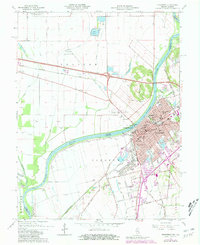
1965 Map of Vincennes
USGS Topo · Published 1981About this map
The Wabash River serves as a stark natural boundary between the city of Vincennes, Indiana, and the expansive bottomlands of Allison Prairie in Illinois. This riverfront landscape is defined by its deep historical roots, featuring the George Rogers Clark State Memorial and the campus of Vincennes University near the Lincoln Memorial Bridge. The town grid is rich with genealogical and community landmarks, including the St Rose Academy, Sacred Heart Sch, and numerous burial grounds like Fairview Cemetery and Greenlawn Cemetery. To the west, the flat Illinois terrain is carved by the Allison Ditch and protected by the Brevoort Levee, highlighting the ongoing effort to manage the flood-prone plains while maintaining vital transportation links via the Baltimore and Ohio RR and Louisville and Nashville RR.
Find a feature on this map
67 named features on this map. Tap any name to fly to it.
Don’t see what you’re looking for? This feature index may not catch every label — zoom into the map to look around manually.
Map Details
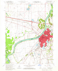
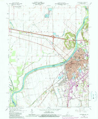
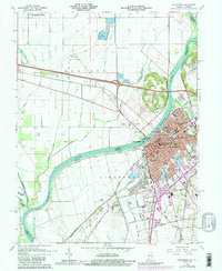
Editions of this 1965 Vincennes Map
4 editions found
Other maps of this area

1915 · Vincennes
USGS Topo · 1:62,500

1917 · Birds
USGS Topo · 1:62,500

1942 · Fritchton
USGS Topo · 1:24,000

1942 · Birds
USGS Topo · 1:62,500

1943 · Oaktown
USGS Topo · 1:24,000

1944 · Fritchton
USGS Topo · 1:24,000

1944 · Iona
USGS Topo · 1:24,000

1944 · Vincennes
USGS Topo · 1:62,500

1956 · Vincennes
USGS Topo · 1:250,000

1957 · Vincennes
USGS Topo · 1:250,000