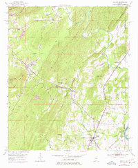
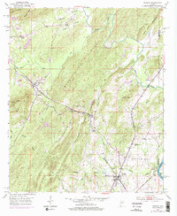
1951 Map of Vincent
USGS Topo · Published 1977About this map
The town of Vincent anchors this mid-century portrait of Shelby County, situated at the intersection of the Central of Georgia and Seaboard Coast Line railroads. The landscape is defined by the prominent Black Ridge and Linder Mountain, which divide the various creek drainages including Kelly Creek and Spring Creek. Industrial activity is evident at Calcis and a substantial quarry located south of Linder Mountain.
Find a feature on this map
45 named features on this map. Tap any name to fly to it.
Don’t see what you’re looking for? This feature index may not catch every label — zoom into the map to look around manually.
Map Details
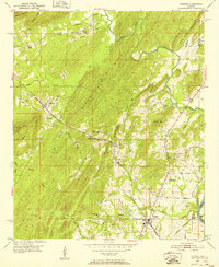
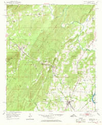
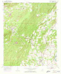
Editions of this 1951 Vincent Map
6 editions found

Other maps of this area

1889 · Springville
USGS Topo · 1:125,000

1889 · Birmingham
USGS Topo · 1:125,000

1890 · Bessemer
USGS Topo · 1:125,000

1890 · Talladega
USGS Topo · 1:125,000

1892 · Birmingham
USGS Topo · 1:125,000

1892 · Springville
USGS Topo · 1:125,000

1892 · Talladega
USGS Topo · 1:125,000

1892 · Bessemer
USGS Topo · 1:125,000

1895 · Birmingham
USGS Topo · 1:125,000

1905 · Leeds
USGS Topo · 1:62,500