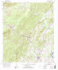
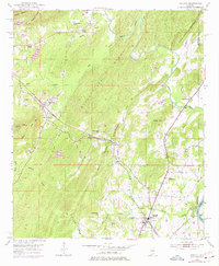
1951 Map of Vincent
USGS Topo · Published 1977About this map
Vincent and the neighboring settlements of Sterrett and Calcis anchor this mid-century look at eastern Shelby County, where the industrial and spiritual life of the community is etched into the landscape. The convergence of the Seaboard Coast Line and Central of Georgia railroads at Vincent highlights its role as a regional transport hub, while a large Quarry between Linder Mountain and Black Ridge speaks to the area's resource extraction.
Find a feature on this map
46 named features on this map. Tap any name to fly to it.
Don’t see what you’re looking for? This feature index may not catch every label — zoom into the map to look around manually.
Map Details
Editions of this 1951 Vincent Map
6 editions found

Other maps of this area

1889 · Springville
USGS Topo · 1:125,000

1889 · Birmingham
USGS Topo · 1:125,000

1890 · Bessemer
USGS Topo · 1:125,000

1890 · Talladega
USGS Topo · 1:125,000

1892 · Birmingham
USGS Topo · 1:125,000

1892 · Springville
USGS Topo · 1:125,000

1892 · Talladega
USGS Topo · 1:125,000

1892 · Bessemer
USGS Topo · 1:125,000

1895 · Birmingham
USGS Topo · 1:125,000

1905 · Leeds
USGS Topo · 1:62,500