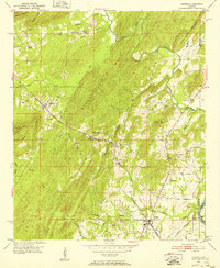
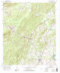
1951 Map of Vincent
USGS Topo · Published 1952About this map
The Central of Georgia and Atlantic Coast Line railroads anchor the industrial landscape of eastern Shelby County in the early 1950s. The settlement of Vincent sits at the junction of rail and road, while the surrounding ridges, including Blackjack Ridge and Quarry Mountain, define the local topography. This period captures a network of rural faith and community, marked by numerous small churches such as Beulah Ch near Sterrett, Mt Canaan Ch, and Macedonia Ch. The presence of Calcis and a Pumping Station near the Coosa River suggest the importance of local industry and water management. Smaller family and community landmarks, like Elliott Cem and Davis Chapel, are scattered throughout the valleys formed by Kelly Creek and Spring Creek, providing a detailed look at the social geography of the area before modern expansion.
Find a feature on this map
45 named features on this map. Tap any name to fly to it.
Don’t see what you’re looking for? This feature index may not catch every label — zoom into the map to look around manually.
Map Details
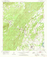
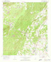
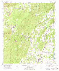
Editions of this 1951 Vincent Map
6 editions found

Other maps of this area

1889 · Springville
USGS Topo · 1:125,000

1889 · Birmingham
USGS Topo · 1:125,000

1890 · Bessemer
USGS Topo · 1:125,000

1890 · Talladega
USGS Topo · 1:125,000

1892 · Birmingham
USGS Topo · 1:125,000

1892 · Springville
USGS Topo · 1:125,000

1892 · Talladega
USGS Topo · 1:125,000

1892 · Bessemer
USGS Topo · 1:125,000

1895 · Birmingham
USGS Topo · 1:125,000

1905 · Leeds
USGS Topo · 1:62,500