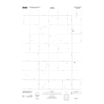
2013 Map of Vincent
USGS Topo · Published 2013About this map
Vincent stands as the primary settlement in this section of Webster County, situated at the junction of 1st St and Elm St. The landscape is defined by its agricultural grid and a complex network of hydrological engineering, featuring managed waterways like Drainage Ditch Number 57 and Lateral Ditch Number 1. These systems support a territory where natural creeks such as Soldier Cr and Brushy Cr meander across the township lines, illustrating the region's long-standing focus on land drainage for cultivation.
Find a feature on this map
34 named features on this map. Tap any name to fly to it.
Don’t see what you’re looking for? This feature index may not catch every label — zoom into the map to look around manually.
Map Details
Editions of this 2013 Vincent Map
This is the sole edition of this map. No revisions or reprints were ever made.
Other maps of this area

1923 · Lehigh
USGS Topo · 1:62,500

1923 · Fort Dodge
USGS Topo · 1:62,500

1954 · Waterloo
USGS Topo · 1:250,000

1954 · Fort Dodge
USGS Topo · 1:250,000

1955 · Waterloo
USGS Topo · 1:250,000

1957 · Fort Dodge
USGS Topo · 1:250,000

1958 · Fort Dodge
USGS Topo · 1:250,000

1965 · Fort Dodge South
USGS Topo · 1:24,000

1965 · Evanston
USGS Topo · 1:24,000

1978 · Eagle Grove SW
USGS Topo · 1:24,000