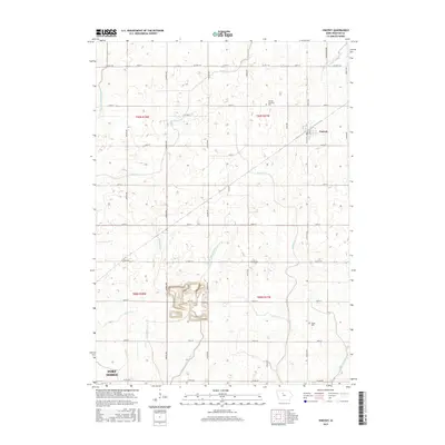
2015 Map of Vincent
USGS Topo · Published 2015About this map
Vincent stands as the primary settlement in this section of Webster County, situated at a junction of rail and local routes. The landscape is defined by its extensive agricultural drainage network, where engineered features like Drainage Ditch Number 57 and Drainage Ditch Number 102 supplement natural waterways such as Soldier Cr and Brushy Cr. This system illustrates the intensive land management required to sustain the region's productive farmland.
Find a feature on this map
26 named features on this map. Tap any name to fly to it.
Don’t see what you’re looking for? This feature index may not catch every label — zoom into the map to look around manually.
Map Details
Editions of this 2015 Vincent Map
This is the sole edition of this map. No revisions or reprints were ever made.
Other maps of this area

1923 · Lehigh
USGS Topo · 1:62,500

1923 · Fort Dodge
USGS Topo · 1:62,500

1954 · Waterloo
USGS Topo · 1:250,000

1954 · Fort Dodge
USGS Topo · 1:250,000

1955 · Waterloo
USGS Topo · 1:250,000

1957 · Fort Dodge
USGS Topo · 1:250,000

1958 · Fort Dodge
USGS Topo · 1:250,000

1965 · Fort Dodge South
USGS Topo · 1:24,000

1965 · Evanston
USGS Topo · 1:24,000

1978 · Eagle Grove SW
USGS Topo · 1:24,000