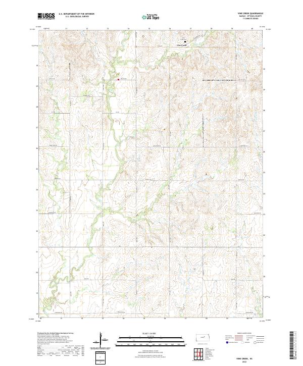
2022 Map of Vine Creek
USGS Topo · Published 2022About this map
Vine Creek anchors this section of Ottawa County, where the agricultural grid meets the winding courses of local waterways. The settlement is centered near the Vine Creek Cem, providing a focal point for genealogical research in this rural Kansas landscape. The terrain is defined by the drainage patterns of Coal Cr, Buckeye Cr, and its namesake Vine Cr, which carve subtle relief into the prairie. A strictly organized network of section-line roads, including Kiowa Rd to the north and Coronado Rd to the south, illustrates the enduring influence of the Public Land Survey System. This modern topographic record captures the intersection of established rural infrastructure and the natural hydrology that has shaped land use in the region for generations.
Find a feature on this map
25 named features on this map. Tap any name to fly to it.
Don’t see what you’re looking for? This feature index may not catch every label — zoom into the map to look around manually.
Map Details
Editions of this 2022 Vine Creek Map
This is the sole edition of this map. No revisions or reprints were ever made.
Other maps of this area

1889 · Abilene
USGS Topo · 1:125,000

1891 · Clay Center
USGS Topo · 1:125,000

1892 · Salina
USGS Topo · 1:125,000

1892 · Minneapolis
USGS Topo · 1:125,000

1894 · Abilene
USGS Topo · 1:125,000

1942 · Salina
USGS Topo · 1:125,000

1955 · Niles
USGS Topo · 1:24,000

1955 · New Cambria
USGS Topo · 1:24,000

1955 · Manhattan
USGS Topo · 1:250,000

1955 · Hutchinson
USGS Topo · 1:250,000