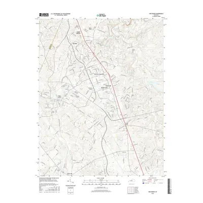
2016 Map of Vine Grove
USGS Topo · Published 2016About this map
Fort Knox dominates the northern landscape of this Hardin County survey, reflecting the significant military presence that has shaped the region's development for generations. The map documents a corridor of residential and commercial growth stretching from Radcliff and Rogersville toward the established community of Vine Grove. This area exhibits a complex network of suburban expansion, where newer subdivisions like Dietz Acres sit alongside long-standing local landmarks.
Find a feature on this map
189 named features on this map. Tap any name to fly to it.
Don’t see what you’re looking for? This feature index may not catch every label — zoom into the map to look around manually.
Map Details
Editions of this 2016 Vine Grove Map
This is the sole edition of this map. No revisions or reprints were ever made.
Other maps of this area

1932 · Big Clifty
USGS Topo · 1:62,500

1935 · Elizabethtown
USGS Topo · 1:48,000

1936 · Vine Grove
USGS Topo · 1:62,500

1938 · Elizabethtown
USGS Topo · 1:62,500

1941 · Ekron
USGS Topo · 1:62,500

1943 · Vine Grove
USGS Topo · 1:62,500

1946 · Rock Haven
USGS Topo · 1:24,000

1946 · Pitts Point
USGS Topo · 1:24,000

1946 · Fort Knox
USGS Topo · 1:24,000

1946 · Colesburg
USGS Topo · 1:24,000