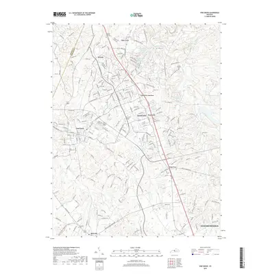
2019 Map of Vine Grove
USGS Topo · Published 2019About this map
Vine Grove and the expanding footprint of Radcliff dominate this Hardin County landscape, where suburban growth meets the persistent military heritage of the region. The proximity to industrial and military corridors is evident in the layout of Vine Grove Junction and Rogersville, while the northern portion of the map is defined by major installations like the Kentucky Veterans Cem Central. This 2019 survey documents a complex network of residential developments such as Dietz Acres alongside vital water infrastructure like Sanders Spring Reservoir and Sander Spring Lake.
Find a feature on this map
218 named features on this map. Tap any name to fly to it.
Don’t see what you’re looking for? This feature index may not catch every label — zoom into the map to look around manually.
Map Details
Editions of this 2019 Vine Grove Map
This is the sole edition of this map. No revisions or reprints were ever made.
Other maps of this area

1932 · Big Clifty
USGS Topo · 1:62,500

1935 · Elizabethtown
USGS Topo · 1:48,000

1936 · Vine Grove
USGS Topo · 1:62,500

1938 · Elizabethtown
USGS Topo · 1:62,500

1941 · Ekron
USGS Topo · 1:62,500

1943 · Vine Grove
USGS Topo · 1:62,500

1946 · Rock Haven
USGS Topo · 1:24,000

1946 · Pitts Point
USGS Topo · 1:24,000

1946 · Fort Knox
USGS Topo · 1:24,000

1946 · Colesburg
USGS Topo · 1:24,000