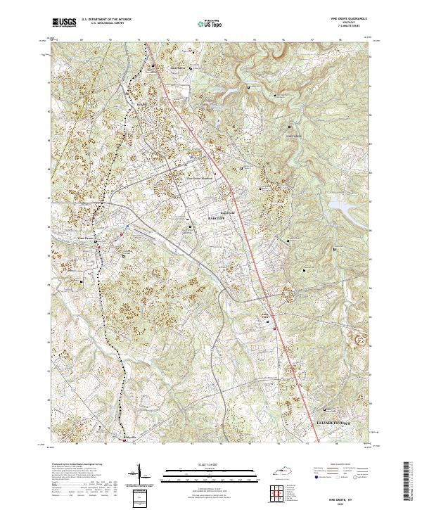
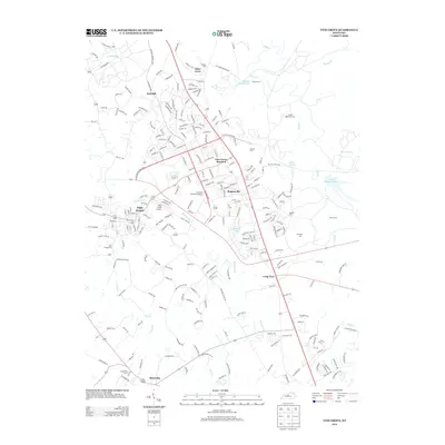
2022 Map of Vine Grove
USGS Topo · Published 2022About this map
Vine Grove and the expanding footprint of Radcliff anchor this modern-day survey of the Hardin County landscape. The area is defined by a dense concentration of commemorative sites and cemeteries, ranging from the sprawling Kentucky Veterans Cem Central to smaller family and church grounds like Shelton Cem Number 1 and Owens Cem. The military influence of the adjacent post is evident in the road network, which includes the 7th Armored Division Rd and Brumfield Range Rd, cutting through the hills and hollows surrounding Mill Creek.
Find a feature on this map
244 named features on this map. Tap any name to fly to it.
Don’t see what you’re looking for? This feature index may not catch every label — zoom into the map to look around manually.
Map Details
Editions of this 2022 Vine Grove Map
This is the sole edition of this map. No revisions or reprints were ever made.
Historical Maps of Elizabethtown Through Time
11 maps found

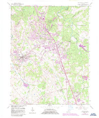
1936 Vine Grove
Hardin County, KY

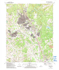
1943 Vine Grove
Hardin County, KY

1946 Vine Grove
Hardin County, KY

1946 Vine Grove
Hardin County, KY
1960 Vine Grove
Hardin County, KY
1991 Vine Grove
Hardin County, KY
2010 Vine Grove
Hardin County, KY
2013 Vine Grove
Hardin County, KY
2016 Vine Grove
Hardin County, KY
2019 Vine Grove
Hardin County, KY
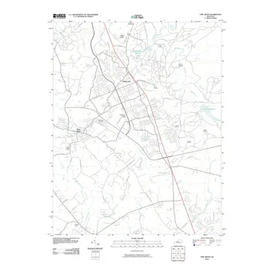
2022 Vine Grove
Hardin County, KY