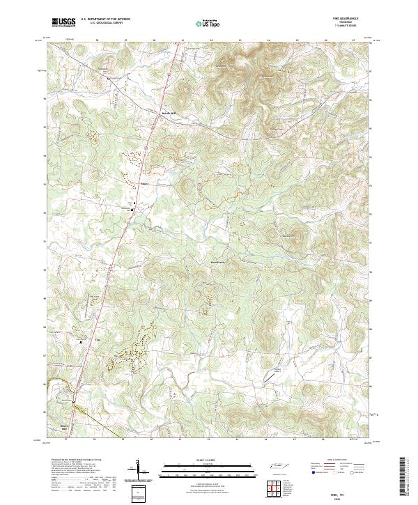
2022 Map of Vine
USGS Topo · Published 2022About this map
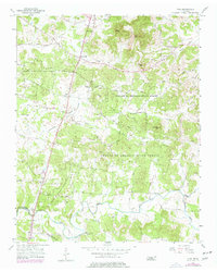
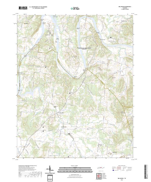
Bairds Mill and the crossroads at Major anchor the landscape along the Murfreesboro Rd corridor in this southern Wilson County study. The terrain transitions from the elevations of Thompson Hills and Pilot Knob in the north toward the creek-bottom lands surrounding the village of Vine. This area is characterized by a dense network of family history markers, including the Thompson Cem, Huddleston Cem, and Major Cem, which trace the early settlement patterns of the central Tennessee highlands.
Find a feature on this map
87 named features on this map. Tap any name to fly to it.
Don’t see what you’re looking for? This feature index may not catch every label — zoom into the map to look around manually.
Map Details
Editions of this 2022 Vine Map
This is the sole edition of this map. No revisions or reprints were ever made.
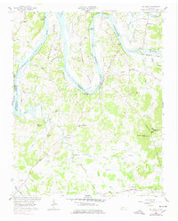
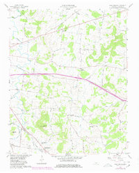
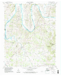
Historical Maps of Bairds Mill Through Time
16 maps found
1951 Martha
Wilson County, TN
1955 Hunters Point
Wilson County, TN
1955 Laguardo
Wilson County, TN
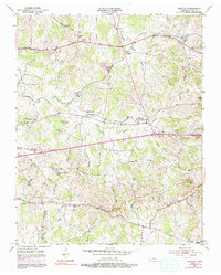
1956 Vine
Wilson County, TN
1958 Bellwood
Wilson County, TN
1958 Shop Springs
Wilson County, TN
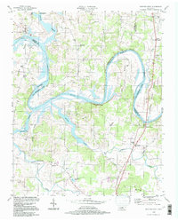
1994 Bellwood
Wilson County, TN
1994 Hunters Point
Wilson County, TN
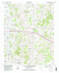
1994 Shop Springs
Wilson County, TN
1994 Vine
Wilson County, TN
2022 Bellwood
Wilson County, TN
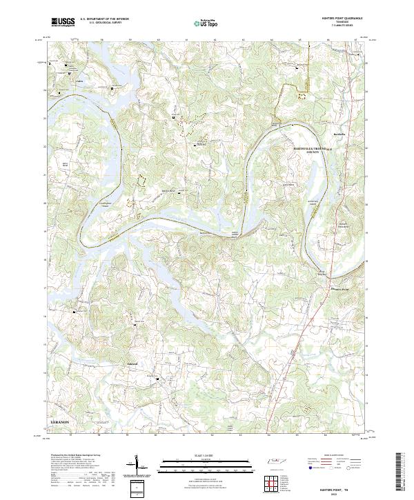
2022 Hunters Point
Wilson County, TN
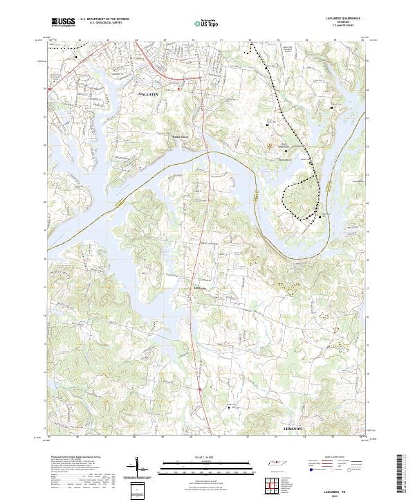
2022 Laguardo
Wilson County, TN
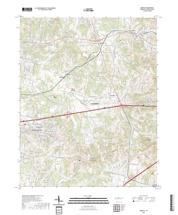
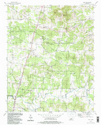
2022 Martha
Wilson County, TN
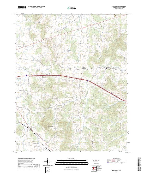
2022 Shop Springs
Wilson County, TN
2022 Vine
Wilson County, TN