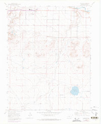
1960 Map of Vineland
USGS Topo · Published 1976About this map
The Arkansas River corridor and its surrounding agricultural plains define this region of Pueblo County. The settlement of Vineland serves as a local hub, supported by community fixtures like the Vineland Ch, Banner Sch, and the Pueblo Co Jr High Sch. A sophisticated irrigation network, including the Bessemer Ditch and Cucharas Ditch, underscores the area's reliance on water management for farming on the high plains. In the southern portion of the map, the landscape shifts toward the Badger Hills, while Huerfano Lake and the St Charles River provide significant drainage and storage. Purple revisions from the mid-1970s illustrate subtle changes in road infrastructure, such as Iris Road and Jersey Road, alongside the persistence of older features like the remote Landing Strip near the lake.
Find a feature on this map
22 named features on this map. Tap any name to fly to it.
Don’t see what you’re looking for? This feature index may not catch every label — zoom into the map to look around manually.
Map Details
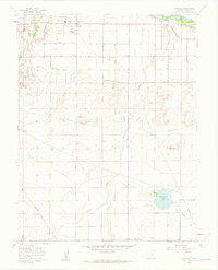
Editions of this 1960 Vineland Map
2 editions found
Other maps of this area

1891 · Pueblo
USGS Topo · 1:125,000

1891 · Nepesta
USGS Topo · 1:125,000

1893 · Nepesta
USGS Topo · 1:125,000

1894 · Pueblo
USGS Topo · 1:125,000

1896 · Pueblo
USGS Topo · 1:125,000

1897 · Pueblo
USGS Topo · 1:125,000

1904 · Nepesta
USGS Topo · 1:125,000

1954 · Pueblo
USGS Topo · 1:250,000

1957 · Pueblo
USGS Topo · 1:250,000

1958 · Pueblo
USGS Topo · 1:250,000